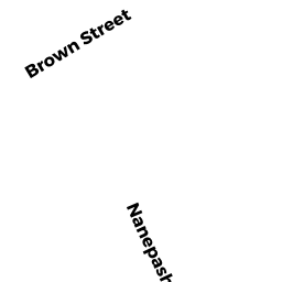
27 R BROWN ST
Owner Information
SCHAUER RACHEL
27R BROWN STREET
MARBLEHEAD, MA 01945-3723


Property Details
27 R BROWN ST is classified as a Single Family Residential (Contempory).
The primary structure on this property was built in 2002. There are 5,760ft2 of built area within this property. There is 5,760ft2 of residential/living space within this property. This property is listed as having 12 rooms.
27 R BROWN ST is valued at $2,811,400. The land is valued at $1,566,300 and the structures are valued at $1,245,100.
This property is in Zone LSR. Confirm with local Zoning Board authorities to ensure there are no overlays or other easements on this property.
The most recent deed for 27 R BROWN ST is recorded at the local registrar in Book 39206, Page 346. 27 R BROWN ST was last sold on Friday, November 20, 2020 for $0.
Assessment data from fiscal year 2022.
Flood Data
According to the FEMA National Flood Hazard Layer, this property does not appear to be in a flood zone. It may also be in an area not yet reviewed. Nonetheless, confirm this information prior to taking any action.
To view the flood hazards around this property, create a FEMA "Firmette" Map of the area around 27 R BROWN ST.
Broadband Internet Providers
| Provider | Type | Bandwidth (mbps) | |
|---|---|---|---|
| Verizon New England Inc. | Fiber | 940 | 880 |
| Viasat Inc | Satellite | 100 | 3 |
| VSAT Systems, LLC. | Satellite | 2 | 1 |
| HughesNet | Satellite | 25 | 3 |
| GCI Communication Corp. | Satellite | 0 | 0 |
| Comcast | Cable | 1000 | 35 |
Broadband service provider data from December 2020.
Adjacent Properties
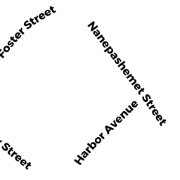
- 58 NANEPASHEMET ST
Single Family Residential owned by WHITMORE ELIZABETH WADE - 27 BROWN ST
Single Family Residential owned by RICE NEIL W - 322 OCEAN AV
Single Family Residential owned by DOWCETT DANIEL F-TRUSTEE - 318 OCEAN AV
Single Family Residential owned by ALBANESE MARY E - 70 NANEPASHEMET ST
Single Family Residential owned by SLOGOOD PROPERTIES LLC - 64 NANEPASHEMET ST
Single Family Residential owned by ARNOLD ALEXANDER A IV - 66 NANEPASHEMET ST
Accessory Land with Improvement owned by PARKER ALBERT C